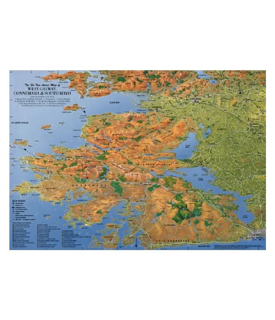
The Fir Tree Series of Aerial Maps have been created by Cartographer / Artist Richard Chandler.
The original artworks have been hand painted taking many hours to interpret Ordnance Survey Mapping / Aerial Photography and a lot of patience! The result therein is a unique combination of map and attractive aerial view of the landscape. Being a true birds eye view from an oblique angle the scale compresses between the foreground and the horizon therefore, a variable scale is printed around the edges.
This map is easy to read and gives an instant feel of the terrain that conventional mapping cannot. However, it must not be used for navigating the mountains where an Ordnance Survey Discovery Map and Compass are essential for safety.
")


